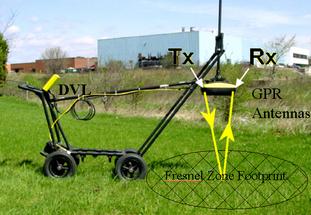
Noggin Ground Penetrating Radar
The Sensors and Software Noggin Ground Penetrating Radar is suitable for utilities detection and ground structure and moisture mapping.
Groundwater Imaging Pty Ltd own a Noggin with 250MHz and 500MHz antennae and are particularly interested in applying it to agricultural applications including soil moisture mapping. It also may be applied to measuring depth of uncompacted silt on the beds of irrigation channels and reservoirs and perhaps to discriminating (on site in real time) defects in clay lining. Some R&D on enhancing application of this gear in agriculture in Australia is presently occurring.
This instrument is available for rental. The Australian Agent is CoRMaGeo (updated 2014).

Noggin GPR detecting subsurface utilities
Measuring Soil Moisture with Surface Reflectance