Seepage Estimator and other software
Seepage estimation and other software
Groundwater Imaging continue to write software and have unpublished code in use for projects such as quantifying seepage from water reservoirs using water balance.
Current prospects include:
1. Publishing Seepage monitoring dashboard facility for sensors telemetered on water reservoirs. As seepage is notoriously difficult to measure, this is not a straight forward task conducted well by off the shelf products such as Sensori alone.
2. Floodplain Harvesting gauge board measurement documentation management - phone app for farmers to use to independently comply with government metering requirements in a robust way.
3. Soil Drillers sample logging software using macroscopic photography using a slip-over lense for phone cameras and managed a mobile phone app.
4. Gamma Ray Spectrometry of drill core - integrated with core scanning hardware.
5. Wrapping of additional sources of TEM forward modelling and inversion code.
6. Enhancement of the Wombat processing and hardware into a multi-parameter soil profile analysis system with real time resistivity modelling.
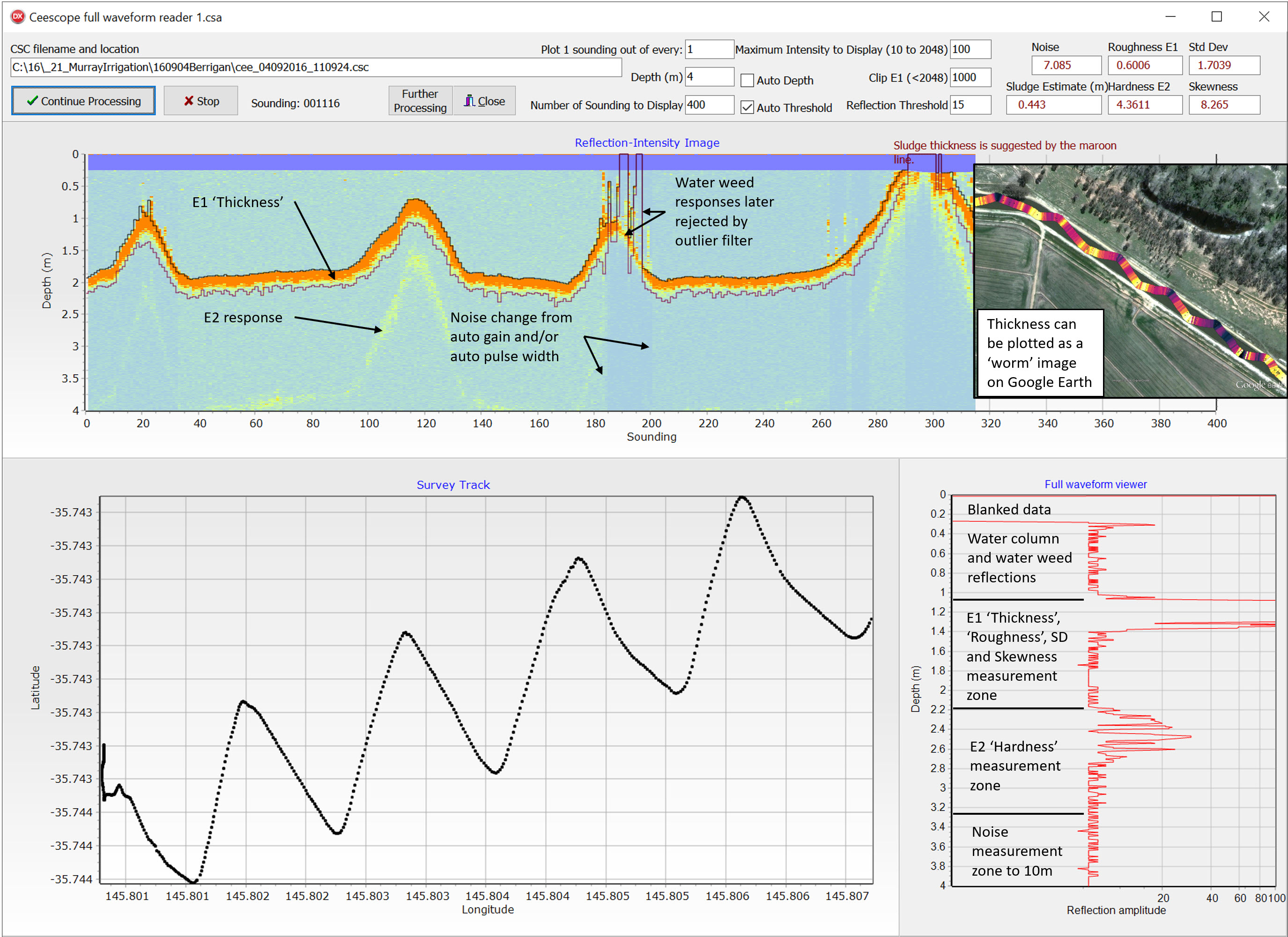
7. Enhancement of Full Waveform Sonar processing to estimate sludge thickness better.
8. Detailed precision waterway survey in long section and cross sections with hydrologic parameters using HERBI-USV, scanning sonar, tilt sensors, precision GNSS and scanning LIDAR.
Make an enquiry if you are interested in seeking, contributing to funding for, or hastening delivery of seepage estimation or other unpublished software.

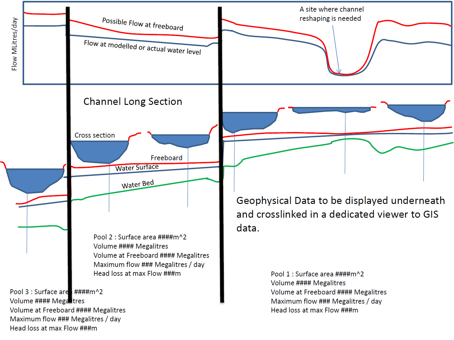
For Irrigation Channel Maintenance - the diagram below presents the presentation concept we are working towards for low-cost identification of flow restrictions and low bank profiles on irrigation channels. All this is available through the integration of diverse technology and software already available but it certainly is not available as a solution-focused integrated package.

